


Le glacier ruitor

PATGUSS
User
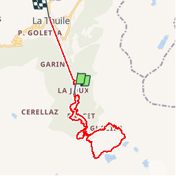

Length
17.6 km

Max alt
2499 m

Uphill gradient
977 m
Km-Effort
31 km

Min alt
1447 m

Downhill gradient
1133 m
Boucle
No
Creation date :
2019-09-10 07:00:16.0
Updated on :
2019-09-10 16:36:14.38
8h19
Difficulty : Very difficult

FREE GPS app for hiking
 SityTrail
IGN / Geographical institutes
SityTrail Plus
The world is yours!
About
Trail Walking of 17.6 km to be discovered at Aosta Valley, Unknown, La Thuile. This trail is proposed by PATGUSS.
Description
Circuit difficile
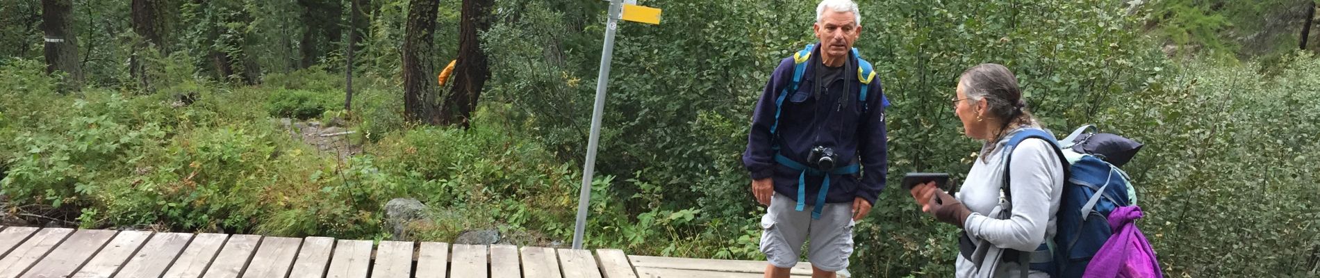
Photos


Positioning
Country:
Italy
Region :
Aosta Valley
Department/Province :
Unknown
Municipality :
La Thuile
Location:
Unknown
Start:(Dec)
Start:(UTM)
341187 ; 5061637 (32T) N.
Comments